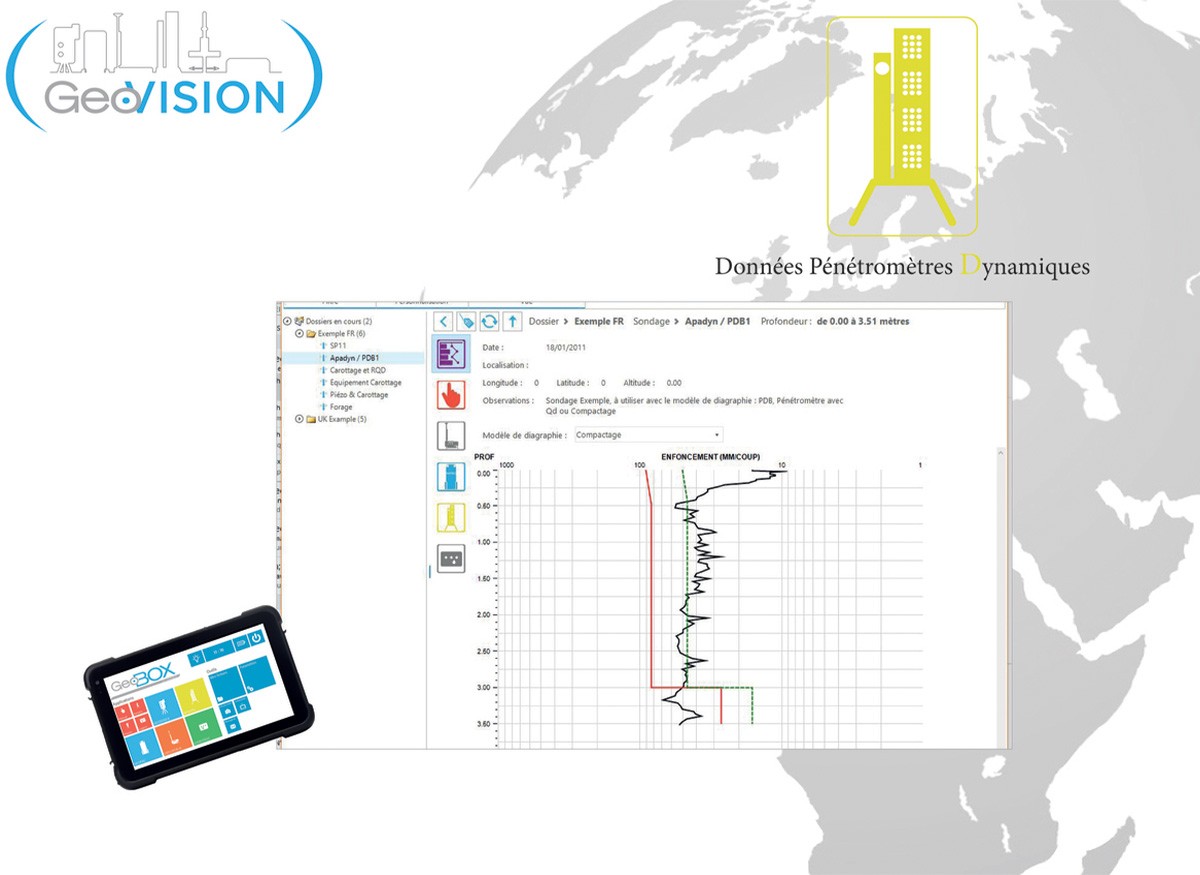
Geovision®-D
Developed in-house and in partnership with a leading software engineering company, GeoVision® is a geotechnical data processing and visualisation software from Apageo's range of data loggers and others.
Request a quote for this productIt is powerful, easy to use and fully customisable. There are 4 different versions.
The GeoVision® - D version represents the software for the exploitation of penetrometric data, obtained with a GeoBOX® acquisition unit (in direct recording with the Apadyn system or in manual input) or simply noted by hand. The data concern in particular PDB tests (DPSH), SPT tests, as well as compaction control (Apadyn required here).
GeoVision® - D allows the acquisition, processing and visualisation of all data from dynamic penetrometers equipped with the Apadyn® system for PDB tests (DPSH), SPT tests, as well as compaction control, in accordance with standards NF EN ISO 22476-2, ISO 22476-3 and NF P 94-063. It has been developed jointly by experts in dynamic penetrometers and specialists in computer development and programming.
It is therefore the most complete software dedicated to penetrometric testing. It allows the edition of a complete customisable report of a site. In compaction control mode, the software indicates the anomalies present and the conformity or not of the sounding point.
Of course it benefits, as for the other versions of GeoVision®, from the standard functionalities, such as the integration of photos, images, texts or values of the geotechnical data... And always entirely customizable.
Similarly, new features have been added to all GeoVision® versions, including :
- Geolocation of GeoBOX® in activity, real-time monitoring of park activities and instant communication (messaging) with the connected GeoBOX® (4G modem option)
- Automatic updates according to user's licence
- Single or multi-user management
- Positioning of survey points on map.
GeoVision® retrieves data from a USB key, memory card, or stored on the web server (optional) or by manual entry.
THE BENEFITS
Optimisation of site management (geolocation, real-time monitoring, remote communication
User-friendly and intuitive interface
Customisation of media (logs, graphs, reports)
Easy insertion of manual data
Single or multi-user management
Compatible with all recent versions of Windows


